
NASA data supports commercial lunar resource planning
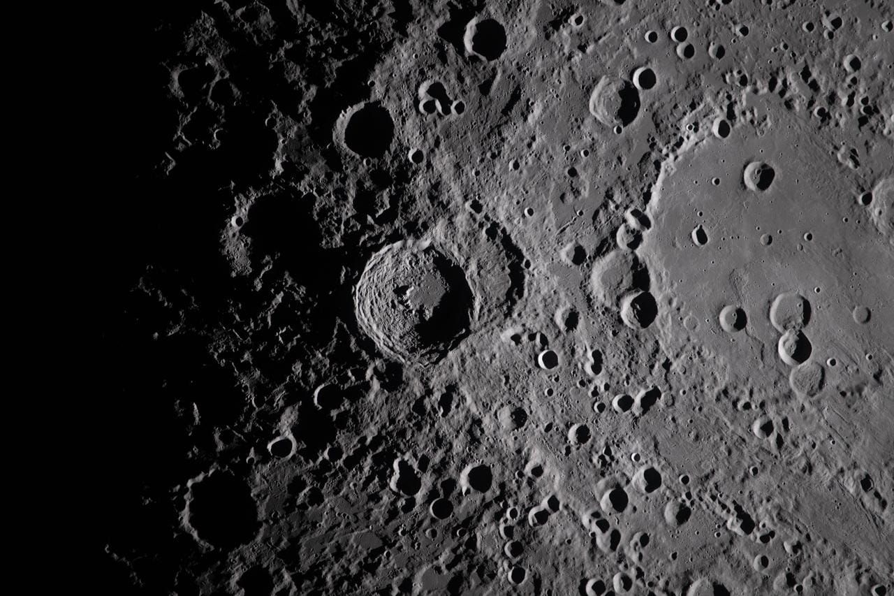
(SpaceEnergy) NASA data is being used by Lunar Station Corp. to identify potential lunar resource sites and plan landing, rover and mining operations on the Moon.
The Cambridge, Massachusetts-based company combines datasets from NASA and other space agencies to build terrain and environmental models for prospective lunar operations. Its tools use NASA imagery, planetary datasets and the Ames Stereo Pipeline to create three-dimensional maps showing features including rock placement and elevation.
Lunar Station’s MoonHacker programme applies geospatial analytics and algorithms to data in NASA’s Planetary Data System to identify indicators of shallow lunar water deposits. The company also uses the data to evaluate landing-pad locations, rover routes and communications requirements for sites including the lunar poles and far side.
NASA said the availability of in-situ lunar water at specific locations remains largely uncertain. Historical missions, including the Lunar Crater Observation and Sensing Satellite (LCROSS), have nevertheless confirmed water ice at the lunar South Pole. Lunar Station is building on those datasets to support commercial mission planning and research associated with prospective mining operations.
Discussion